


Paula and I (John) explored the wonderful alpine objectives around Hermit Meadows in August. The views of Illecillewaet and surrounding areas in Rogers Pass are spectacular. The following is detailed route description of our Mt Tupper climb. Tupper is a fun “sporty” ridge scramble with a little alpine climbing to make interesting. Highly recommended for the ambiance (read alpine meadows and views) and mix of mountaineering skills necessary to reach the summit.
Mt. Tupper is located in Rogers Pass, Glacier National Park, British Columbia. The climb is most commonly accessed via the Hermit Meadows backcountry campsite. Starting from Hermit Meadows, the climb includes a scramble on rock ledges, a ridge traverse with numerous route finding challenges/transitions (eg. Running belay, short roping, etc.) and technical rock climbing on the summit block. Refer to David Jones’ guidebook, “Climbs in Rogers Pass” for route description options particularly for the rock climbing route options adjacent to the Hermit gendarme.
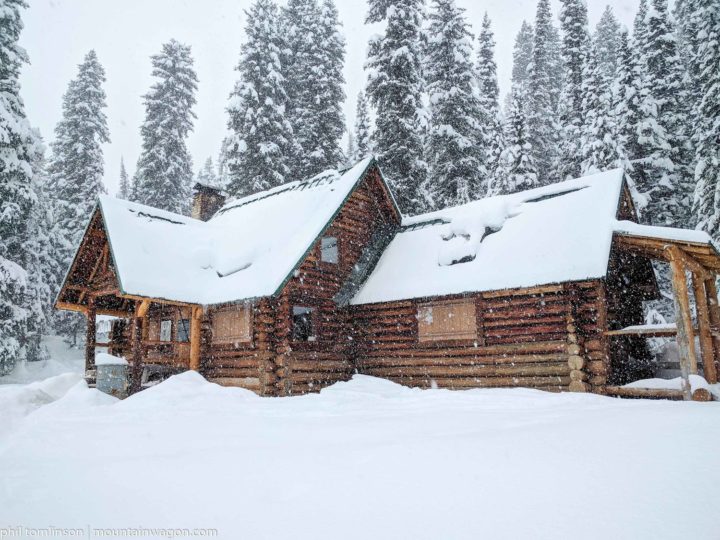
We started our Mt. Tupper adventure with a visit to the Rogers Pass visitor center to get the camping permit for Hermit Meadows. The hike up to the meadows is relatively short, but steep, approximately 700m elevation gain in 3.5 km. Camping in the meadows is worth the trip in its own right, a superb alpine setting with creeks, tarns and a panoramic view of the peaks/glaciers south of Rogers Pass. Camping amenities include tent platforms, bear proof food lockers and a glacier fed mountain stream. Other alpine objectives in the area include Mount Rogers, the Swiss Peaks and Mount Hermit.

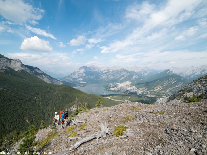
The Mt Tupper route starts from the campsite, following a hiking path to reach a scramble, that continues up a series of ledges, benches, stream crossings to reach the west Tupper ridge. The route is well cairned, mid way there is an alternate cairned route to the left, leading to the Hermit Glacier. Keep right, for the most direct route to the ridge. Once on the ridge it is an easy walk for about 1.5 km to reach the first low class 5 features on the ridge. The first feature is about 50 metres long, the easiest ascent follows the ridge line.
Continue travel along the ridge line, approximately a kilometer, either directly on the ridge or slightly left (north side), over blocky class 4 terrain, to reach the approach to the gendarme. The approach involves several route finding challenges over class 5 terrain. The first is a 2.5 metre step down to a ledge with a bolted belay. From the bolted station, downclimb 8 metres to a V notch then climb up the other side on easy cracks to a sling anchor. From the anchor continue easy travel on the south side (lookers RH) , using a series of ramps and cracks to reach a wide bench. Stay left on the bench, scrambling up and past a small feature to reach the base of the gendarme. From this perspective, it is difficult to identify the gendarme. However, at this point the climbing routes on the summit block are now clearly visible.

Refer to David Jones, guidebook for route options, the description in this report, is for the 5.3 (old school) crack corner route. The first pitch is 20 metres, starts at a wide bench, following an easy crack system to reach a bolted anchor / rap station. It is an easy short scramble to the right to the reach the base of the 2nd pitch, crux corner climb. It is a 20 metre climb, about 2/3 of the way up, there is a very tight awkward full body squeeze section and a #4 cam would be handy. From the bolted station it is easy terrain to reach a 2 meter step, followed immediately by a second 2 meter step to reach a single bolt station. From the station, easy travel to the base of the final 30 metre pitch. The final pitch is easy low 5th class climbing, a series of blocks and steps to reach the summit plateau.
To descend, reverse the route. Total trip time is 10 – 12 hours.


0 Comments
Leave a reply
You must be logged in to post a comment.